
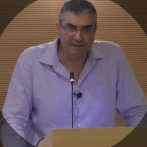
Christos Chalkias is a Professor of Applied Geography and Geographic Information Systems (GIS) at the Department of Geography, Harokopio University. He received his B.Sc. in Geology (1991) and his Ph.D. in Geoinformatics in Earth Science (1996) from the National and Kapodistrian University of Athens. His research focuses on GIS and spatial analysis, applied geography, spatial pattern analysis, health geography, modeling of natural processes, and digital/web cartography. He has authored numerous publications in high-impact international journals, particularly in the areas of geospatial analysis, environmental modeling, and public health geography. He has participated in more than 40 research projects since 1995, including European and national initiatives related to geoinformatics, environmental monitoring, and spatial data infrastructures, and has coordinated several funded research programs involving geospatial applications and digital cartographic systems.
Ο Χρήστος Χαλκιάς είναι Καθηγητής Εφαρμοσμένης Γεωγραφίας και Γεωγραφικών Συστημάτων Πληροφοριών (GIS) στο Τμήμα Γεωγραφίας του Χαροκόπειο Πανεπιστήμιο. Είναι πτυχιούχος Γεωλογίας (1991) και διδάκτορας Γεωπληροφορικής στις Επιστήμες της Γης (1996) του Εθνικό και Καποδιστριακό Πανεπιστήμιο Αθηνών. Τα ερευνητικά του ενδιαφέροντα περιλαμβάνουν τα GIS και την επιστήμη της γεωπληροφορίας, την εφαρμοσμένη γεωγραφία, τη χωρική ανάλυση και ανάλυση προτύπων, τη γεωγραφία της υγείας, τη μοντελοποίηση φυσικών διεργασιών και τη ψηφιακή/διαδικτυακή χαρτογραφία. Έχει δημοσιεύσει εκτενώς σε διεθνή επιστημονικά περιοδικά στους τομείς της γεωχωρικής ανάλυσης, της περιβαλλοντικής μοντελοποίησης και της γεωγραφίας υγείας, ενώ έχει συμμετάσχει σε περισσότερα από 40 ερευνητικά έργα από το 1995, συμπεριλαμβανομένων ευρωπαϊκών και εθνικών προγραμμάτων, και έχει συντονίσει σημαντικά έργα που σχετίζονται με γεωπληροφορικές εφαρμογές και συστήματα χωρικών δεδομένων.
G. Kefalas, K. Poirazidis, P. Xofis, S. Kalogirou, and C. Chalkias, “Landscape dynamics on insular environments of South-east Mediterranean Europe,” Geocarto Int., vol. 37, no. 6, pp. 1813–1832, 2022.
S. Tyrovolas et al., “COVID-19 mortality in Europe, by latitude and obesity status: A geo-spatial analysis in 40 countries,” Nutrients, vol. 14, no. 3, p. 471, 2022.
C. Chalkias, C. Polykretis, E. Karymbalis, M. Soldati, A. Ghinoi, and M. Ferentinou, “Exploring spatial non-stationarity in the relationships between landslide susceptibility and conditioning factors: A local modeling approach using geographically weighted regression,” Bull. Eng. Geol. Environ., vol. 79, no. 6, pp. 2799–2814, 2020.
R. S. Lorilla et al., “Socio-ecological determinants of multiple ecosystem services on the Mediterranean landscapes of the Ionian Islands (Greece),” Ecol. Model., vol. 422, 2020.